Burrow Surveyor
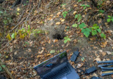
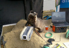
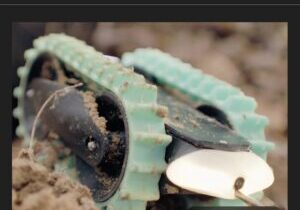
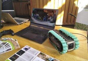
The Burrow Surveyor is a compact, advanced sensor platform designed to quickly and non-destructively map underground tunnels and hollows. By combining video footage, sensor data, and 3D models, it provides valuable insights for risk assessments and supports infrastructure managers in taking informed, targeted measures. Thanks to its robust design, the Burrow Surveyor is suitable for a wide range of applications — from animal burrow inspections to wildlife tunnels and civil engineering structures.
Output
In many cases, a visual inspection using photo and video recordings is sufficient. However, when more detail is required, we can additionally generate a high-resolution 3D model of the surveyed area. This model can be integrated with the Dutch Elevation Model (AHN), making the position and size of underground spaces immediately visible in relation to their surroundings.
Specifications
- Suitable for tunnels and hollows with a minimum diameter of 20 cm
- Dimensions: 28 × 17 × 12 cm (L × W × H)
- Operational depth: up to 9 meters
- Portable power supply for inspections at various locations

