Drones
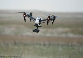
In recent years UAVs (drones) have become the perfect tool for airborne surveys. Where in earlier days helicopters or small airplanes were used to collect these data, most of these surveys can now be carried out by UAVs. With a smaller impact on the project budget, very compact mobilisation windows and a range of (image) sensors, UAVs are a serious alternative.
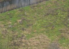
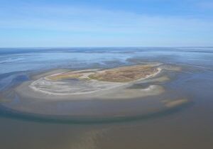
Using automated flight control, UAVs can carry out pre-planned surveys with a high accuracy and ground resolution. In addition, surveys can be carried out repeatedly, generating time-series of the exact same area. In flight, images are taken with sufficient overlap in forward and sideways direction. Once the survey is finished, these images are combined to produce a so called orthomosaic – a high-resolution aerial image. These orthomosaics have very high ground resolutions, which allows us, for example, to map vegetation, count bird numbers and bird nests.
With specialized software and abundant images of a specific subject, it is possible to build 3D maps and elevation models by triangulating the exact position of each pixel. 3D (elevation) models enable very accurate measurements and volume calculation on a scale that was previously inconceivable.
Using aerial imaging, 3D models can be applied to calculate volumes of (natural) structures such as mussel beds and dunes, but also to map volume changes of such structures over time. In addition, 3D models may also be used to count species numbers like plants or birds.
These models and maps are custom-made and can be used as a tool to answer both research and management questions.


