Aerial survey of Zostera Marina
In the Dutch Wadden Sea, efforts are being made to restore intertidal Zostera marina populations. In order to monitor the results of several restoration trials, individual plants need to be counted. The annual, intertidal eelgrass are usually monitored during low tide, when they are easily accessible.
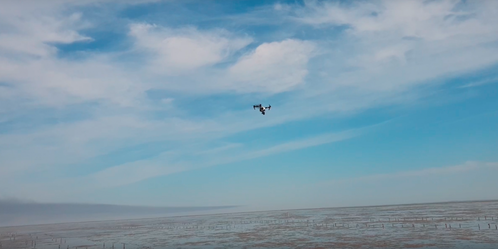
As repetitive ground counts may leave deep tracks in the muddy sediments of the intertidal flats, the easiest, most accurate and effective way is counting plant numbers from the air by using a drone. To analyse plant numbers, we create a mosaic from the images of the targeted research area that are taken in flight. These image stitches are subsequently both manually and automatically analysed using machine learning image-analysing scripts. First step in automated image analysis is to discriminate between seagrass and algae/salt marsh plants/debris. After this, all individual seagrass plants are counted. The number of plants is then the final output of this project. These numbers are also compared to ground truthing data to provide accuracy estimates.
Read more about it in our poster: Poster V2 tFC drones ISBW 13

