News
Share this page
Show all
- Show all
- News
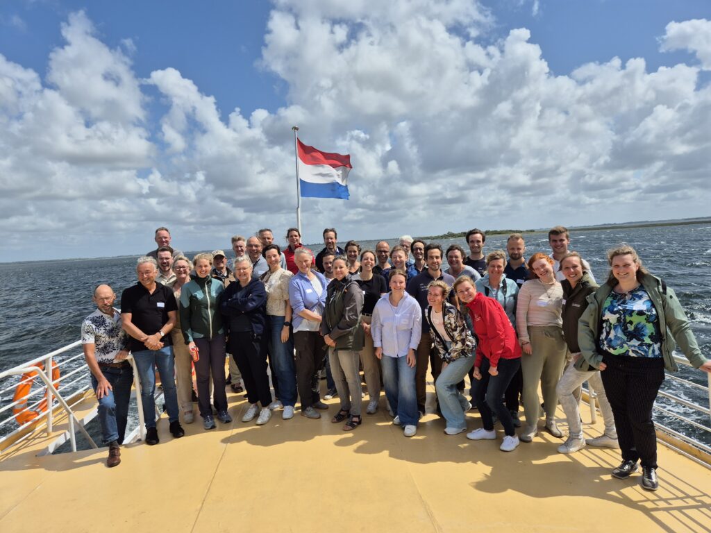
Rijkswaterstaat Field Visit at the Grevelingenmeer
Today the fieldwork company joined Rijkswaterstaat for a visit to one of our seagrass restoration sites in Lake Grevelingen, as part of ongoing work under the European Water...
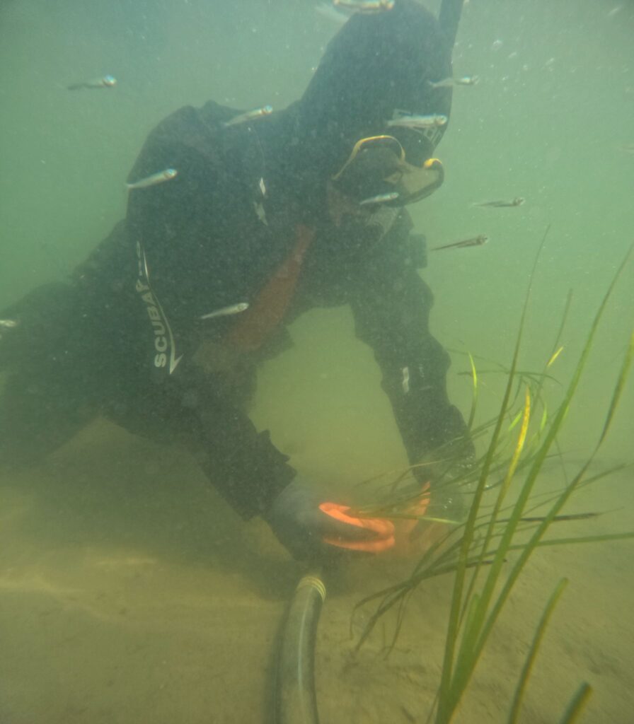
This years subtidal seagrass planting campaign in Zeeland successfully completed
This June, The Fieldwork Company successfully completed this year’s seagrass restoration campaign in Zeeland. Together with a dedicated group of volunteers, students, and staff from...
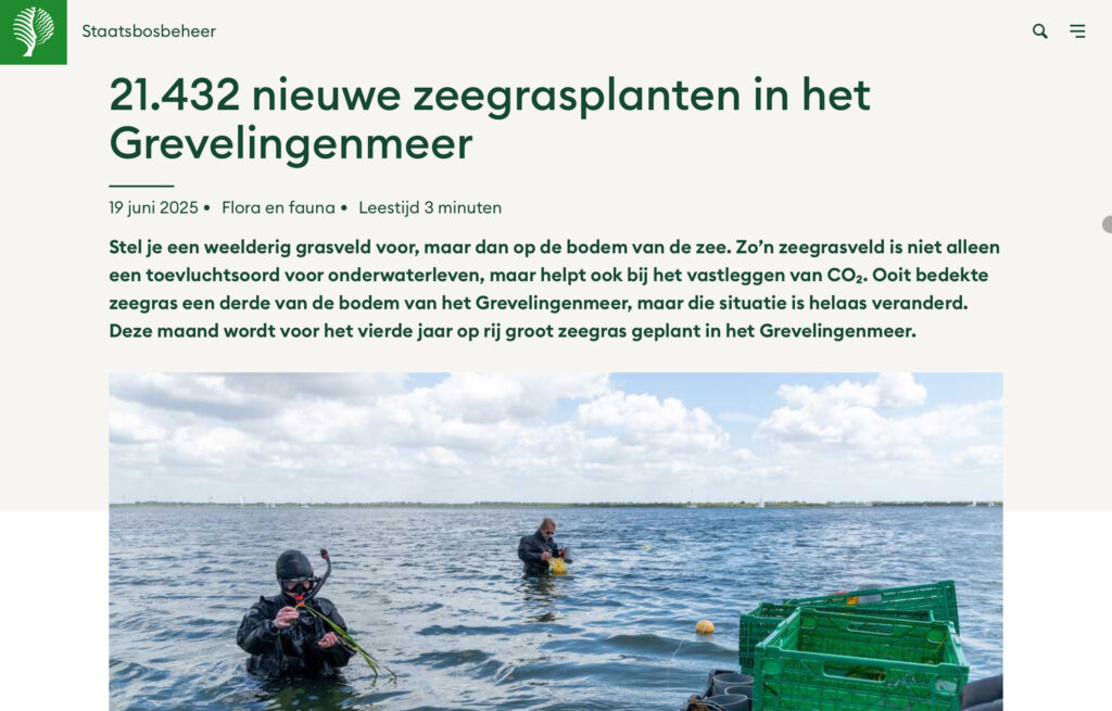
Boswachterblog about Seagrass Restoration Project in Southern Delta
Read this wonderful Boswachter Blog by Melanie van Zweeden, Forest Ranger at Staatsbosbeheer, about our seagrass restoration efforts in the Southern Delta: Link to Staatsbosbeheer...
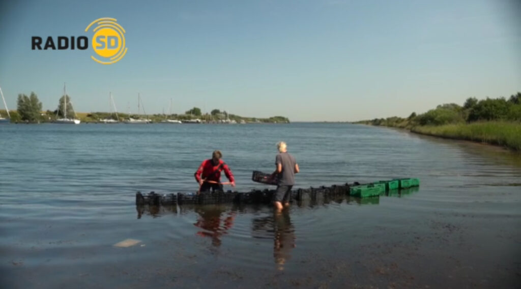
Spontaneous Radio Interview During Seagrass Campaign in Zeeland
During our recent seagrass planting campaign in Zeeland, two members of our seagrass team were unexpectedly invited for a live interview with Radio SD. A pleasant...
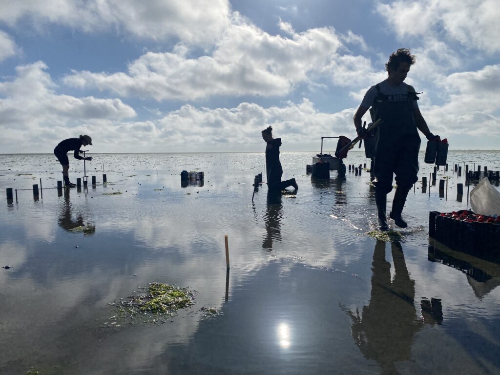
2025 Z. noltii core planting in Wadden Sea completed
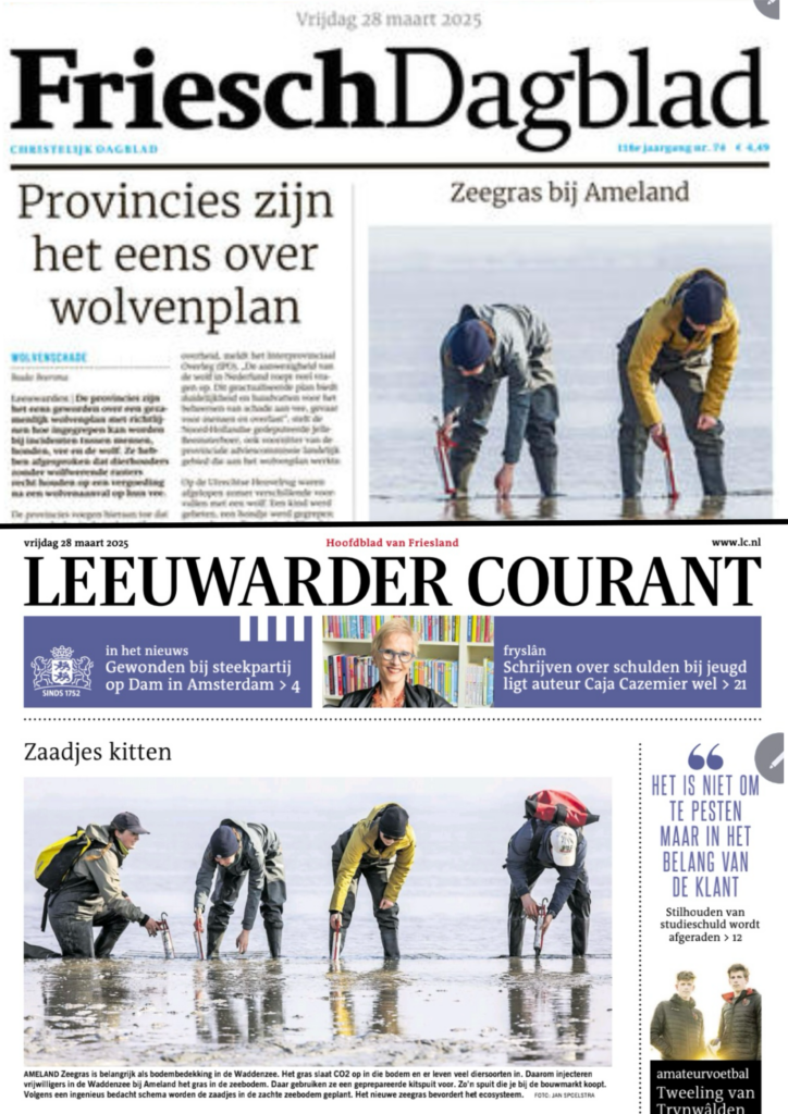
In May we successfully completed our annual seagrass planting activities in the Dutch Wadden Sea by collecting nearly 1,000 cores of Zostera noltii (dwarf eelgrass) and transplanting...
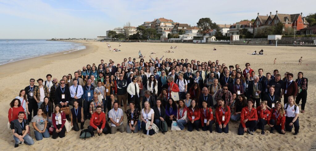
Seagrass Team Attends Second ESRW in France
Earlier this spring, members of our seagrass team participated in the second European Seagrass Restoration Workshop (ESRW2), held in Arcachon, France. The workshop took place...

