Mapping Griend
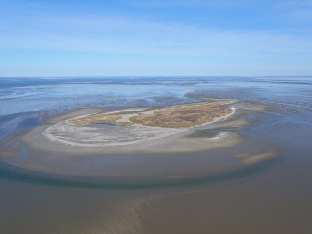
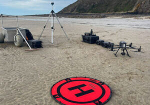
Every few months we conduct an aerial survey to construct a orthomosaic map of the entire island of Griend (about 100 hectares). Orthomosaics provide valuable insights in the dynamics of the island (erosion and sedimentation processes), especially after storm events. By regularly mapping the entire island by drone imagery, we can track morphological changes of the island after restoration measures. In 2016, 200.000 cubic meters of sand and 20.000 cubic meters of shell material was deposited on the island to keep the island from eroding.
Griend is a nature reserve, well-known for its high nature value for especially migratory bird species. During spring and summer, Griend is home to more than 40.000 breeding birds such as black-headed gulls and the endangered sandwich tern. In Spring and autumn 10.000 of migratory wading birds – e.g. red knots, bar-tailed godwits, sanderlings – visit the surrounding mudflats to fuel up on their journeys between tropical wintering areas and arctic breeding grounds. In winter, grey seals nurse their pups on the island.
Our high resolution orthophotos combined with 3D maps grant researchers insight in the dynamics of Griend which may aid in future management of the island.
This project was conducted in collaboration with the Griend Research Project

