Mapping Water Soldier

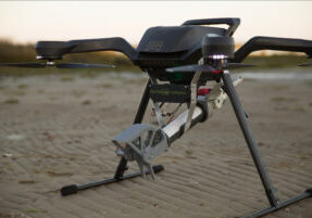
We developed a pilot study to investigate the possibilities of aerial mapping (surface coverage) of the common water soldier by UAV. Traditionally, this surface cover is determined by human observers. Despite the experience of the observers, observation bias may occur.
In contrast, a drone is able to fly straight above a ditch, and is able to look at the water without the interference of obstructive vegetation. This methodological advancement highly improves estimations of water soldier cover. However, estimates are not sufficiently accurate. That’s why our software developers developed a script to determine water soldier cover by automated image analysis.
This software solution allows researchers to get fast and accurate results, and more importantly, it helps standardizing counts and prevents observer biases.
This project was conducted in collaboration with Bureau Biota

